Canyon de Chelly, AZ
April 1-5, 2021
This visit is a “would you rather have this…or this?”
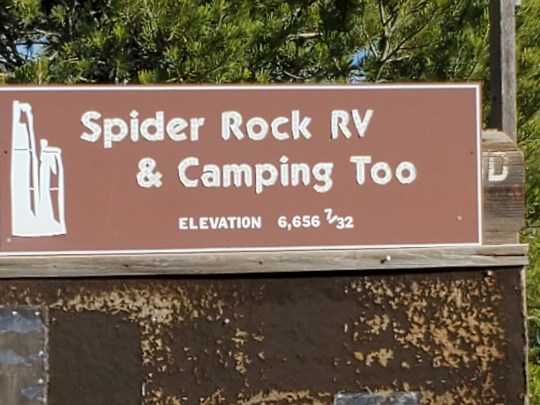
The Navajo Nation has been closed for about a year. Several US National Parks and Monuments are on Navajo land, so they have been closed…kind of. Back in January, when we knew the Canyon de Chelly campground- run by the Navajo would be still closed come spring, we booked a reservation at a small private campground (run by a Navajo). As we got closer to our arrival date, I called the Park Service at two locations and the Navajo Nation office and was vaguely told that the parks were closed, the roads, being Navajo roads were closed…A voicemail to the private campground- through limping cell service- confirmed our reservation…so we arrived- on roads that were not closed, driving by businesses that were not closed. Go figure.
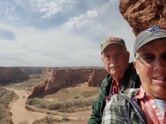
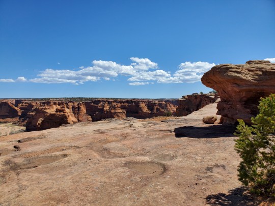
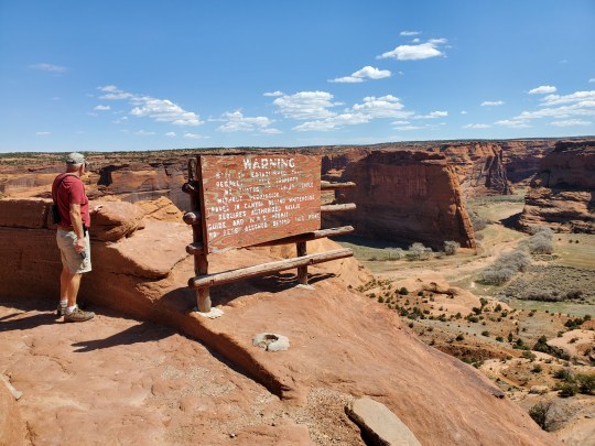
Canyon de Chelly is spectacular as the photos will show. However, the visitor center was not open, the jeep tours were not open, and some overlooks were closed yet we could park on the road and walk in. What we gained by being there while it was “closed” was that no one else was around – we were the only ones in our campground, usually the only ones at each overlook, and no horse or jeep tours down in the canyon, so we had incredible views. We would have enjoyed a jeep tour, however, having the canyon to ourselves was worth the loss of the jeep tour.
At every overlook, we would take our time and using the binoculars find many, many cliff dwelling ruins- these date back to 600-1200 CE(current era or AD) Anasazi, Athabaskan and Pueblo, with the Navajo coming after that era. Currently, about 40 Navajo families live in the canyon using the dry river bed and a few roads to travel in and out.
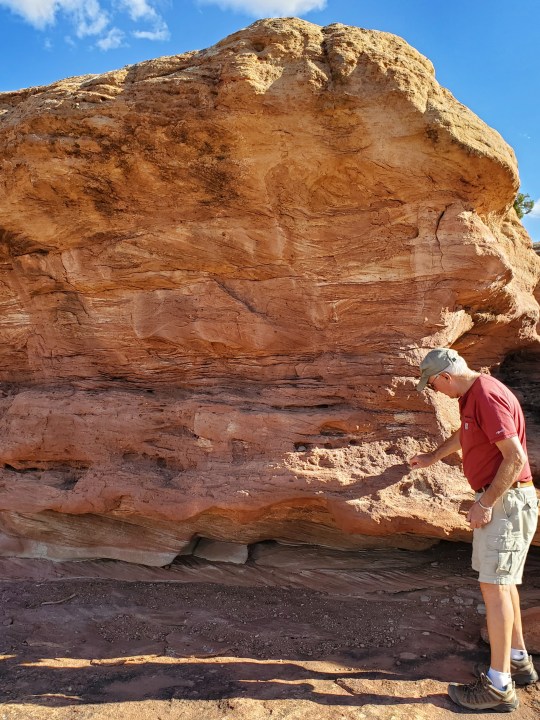
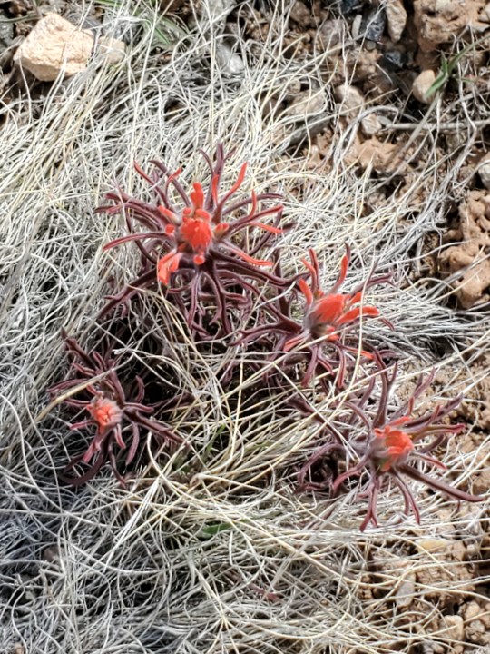
It is the first time in over a year that we have been someplace impressive enough to take lots of photos- hope you enjoy our favorite pics:
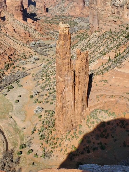


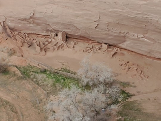

Cliff Dwellings we saw from overlooks above.
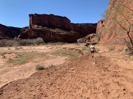
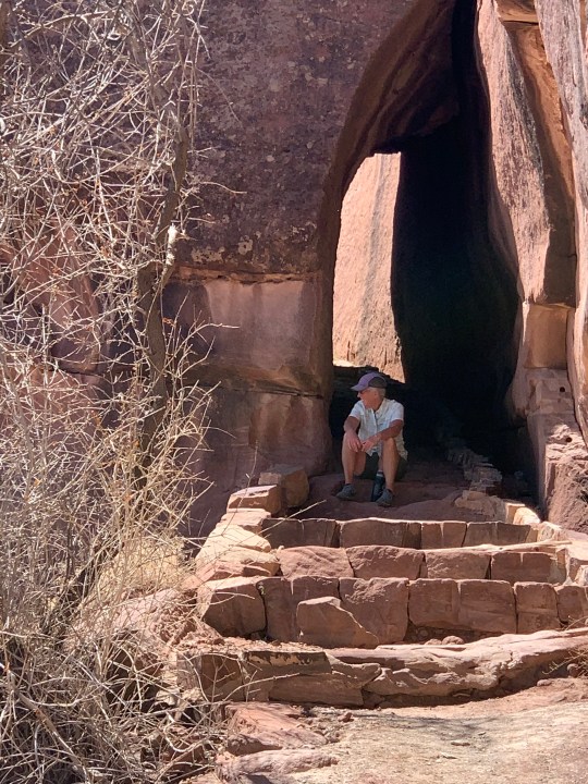
One overlook- White House, has a hiking trail to the bottom of the Canyon- the only one you can do without a guide. We had to park about a half mile from the Overlook and then head down the trail- all by ourselves- switchback, after switchback, narrow trail carved out of the rock, a couple of tunnels and we were at the bottom heading to the White House Ruins. Then the long climb back out- the bottom of the Canyon was at elevation 5550 ft. and the top was at 6200ft. And because we had to hike in to the overlook, the distance went from 2.5 miles to 4.5 miles. Temps in the high 70s on the way out, on the sunny side of the canyon, climbing back up the canyon, and even with the southwest “dry heat”, we were still hot and tired at the top!


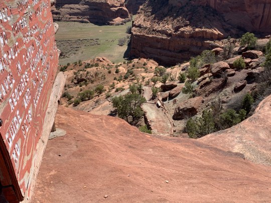
The road to another overlook- Antelope House- was gated about 1.25 miles from the parking lot. Then a 1/2 mile loop around the overlook area. The ruins below were at ground level and quite extensive. Viewing them from almost directly above gave a great perspective. Again, we were the only ones there.

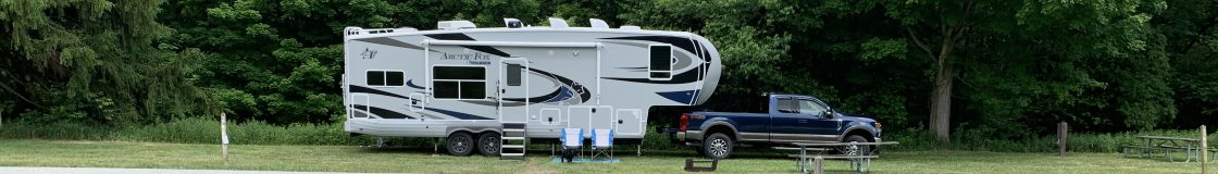
We were off-grid and it is warm each day, with no AC, we have to be aware of the temps and leaving Rhylee in the camper, fortunatetly we have two air vent fans that run by temperture and that seems to work just fine! And we have very limited cell and internet.
