Late May, 2020
Well, some from this state call it Misery, which we thought was silly, until…
The roads here are narrow, twisty and slow. There are TONS of ticks, many different kinds, they are fast, and they are everywhere.
We made our way across Missouri, using state parks, which are out of the way and not near major roads. Short stop at Stockton State Park- huge lake and dam.  This core is from way below the dam, done to insure the foundation was solid.
Montauk SP was SO out of the way, but turned out to be rather interesting.
A trout fish hatchery keeps the river stocked and anglers happy. And we happened by at dinner time!
Our last one In Missouri, we hoped would at least be interesting- Trail of Tears – right on the Mississippi River- we could watch the barge traffic all day long. We arrived mid-afternoon, after a long, tedious drive (at a rest area we watched an old RV catch on fire! The owner was safe, but probably needing a tow). We got ready to pull into our site and a dog came barreling after Rhylee! A vicious little pug broke it’s leash and grabbed onto Rhylee. I tried to move away, but the pug had him. I reached down (duh) to separate them and got bit. Rhylee’s in panic mode and slipped his collar and heads away, I am bleeding and the owner finally gets it’s dog. Then (of course, there is more), the park ranger comes by and tells us the river is rising and the road will be flooded by morning and we have to leave! While bandaging my hand, we use our phones to look for a nearby RV park. Meanwhile, we have to get info about the pug and it’s owners (she is now in tears about me getting bit), the ranger needs a report and my finger is still bleeding.
The pic on the left is taken from where the campsite we had hoped to occupy!
Cape Girardeau, Missouri, on the Mississippi River. The river was already high when we arrived. The left pic is 4 days earlier than the right one. Flood stage is 32 ft. The right pic is at 36.5 ft.
The left pic has previous flood heights on the flood gate at Broadway in Cape Girardeau. The right pic is the bridge with the clearance for ships marked on it.
The a part of the old bridge was preserved and surrounded by a small park with a view of the new bridge.
Much of flood wall, on the town side, is covered in murals recording the history of the area- from the native peoples, the Spanish, Lewis and Clark, etc. Probably 50 murals!
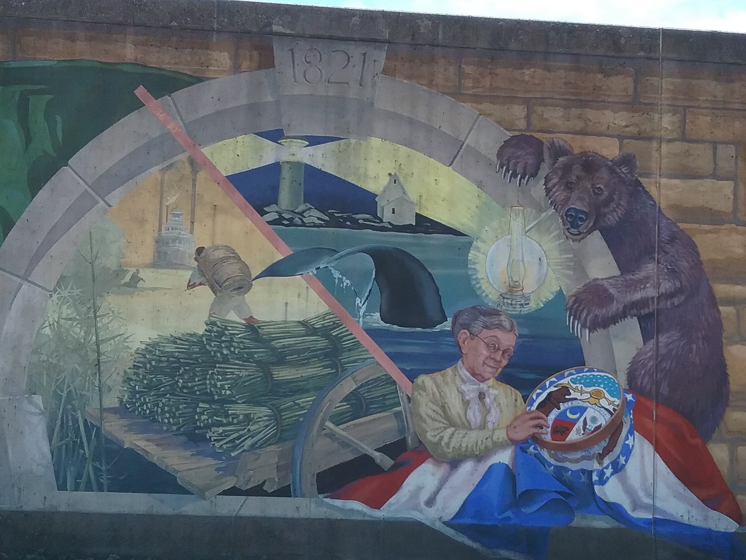
This mural represents Maine and Missouri statehood! Why, you may ask, are they connected? Well, Missouri wanted to become a state and it would be a “slave state” so to keep the numbers of free and slave states equal, Maine was given statehood at the same time as a free state in 1820.
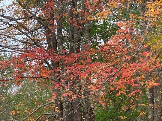
Cape Girardeau was a nifty small city and fun to visit even though, for us, the state has been a bit of misery, on top of the stress of trying to move and function around the virus.


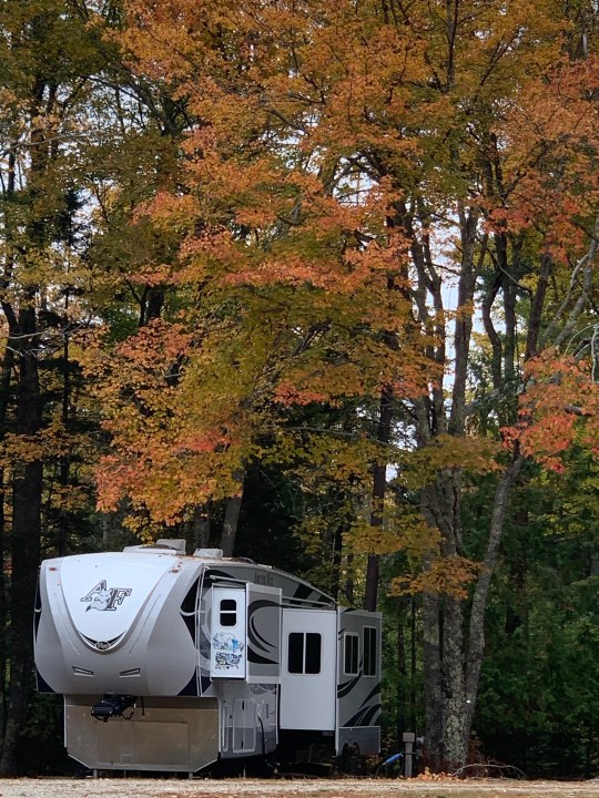


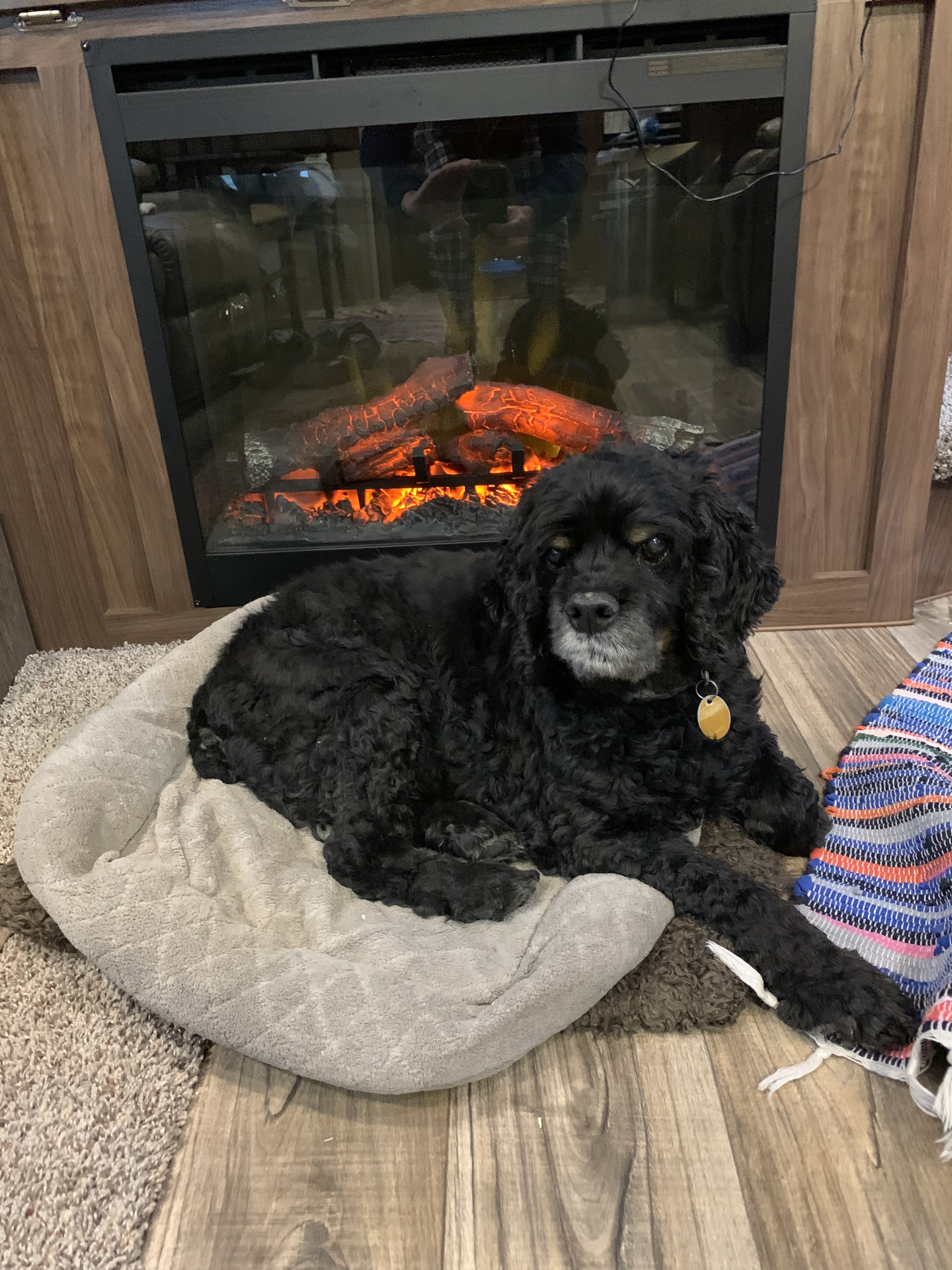
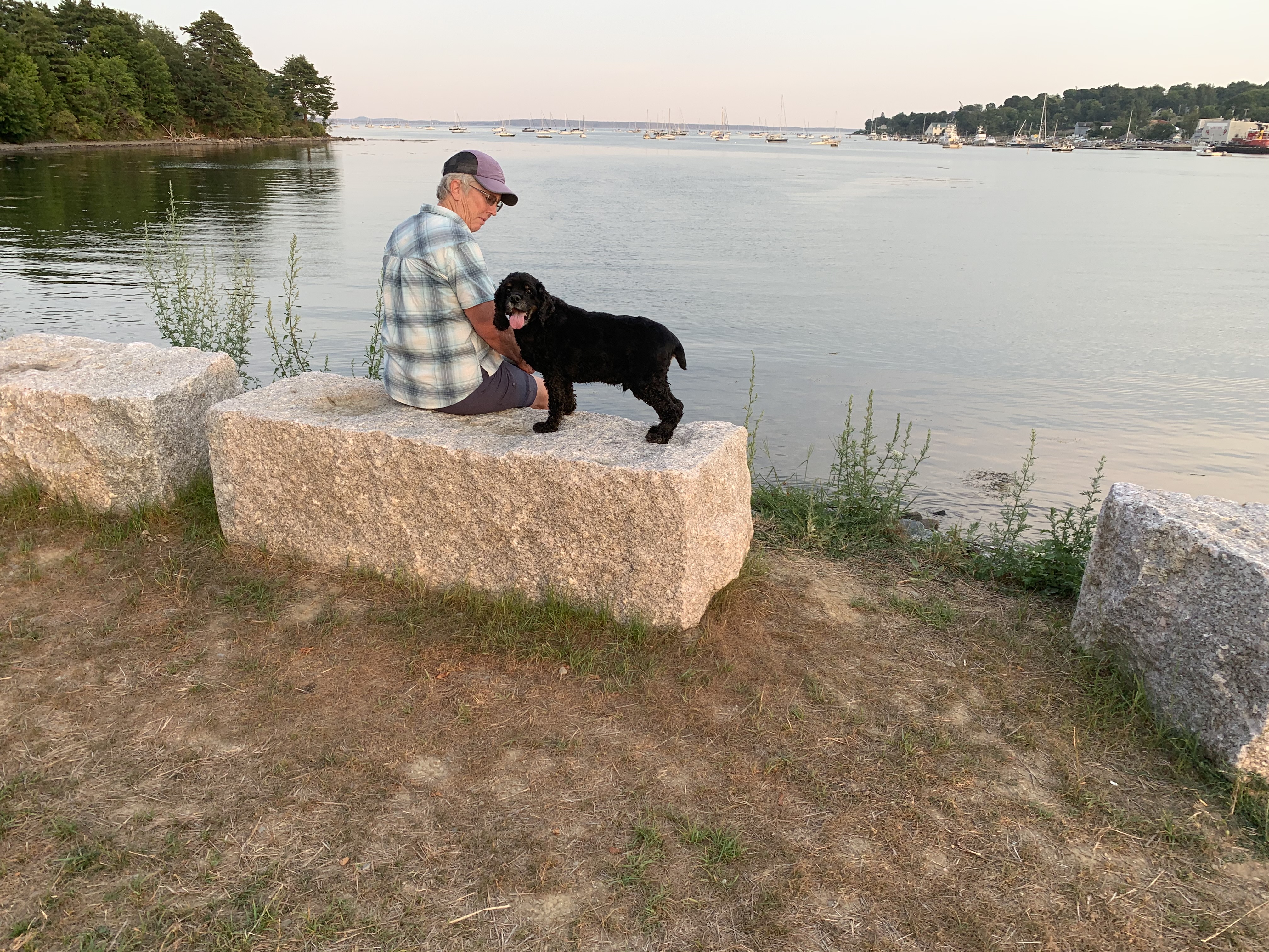 He only rides in the truck to go to the Belfast Harborwalk or our land, which he loves doing.

 and a twisty, turny narrow road that motorcyclists love. And, a hand dug tunnel that is only 12ft by 12 ft and 900ft long…ONE LANE- and as got about half way through, cars started in from the other end! Did I mention there is NO light? Drivers are supposed to look ahead and NOT go if they see headlights already inside.
 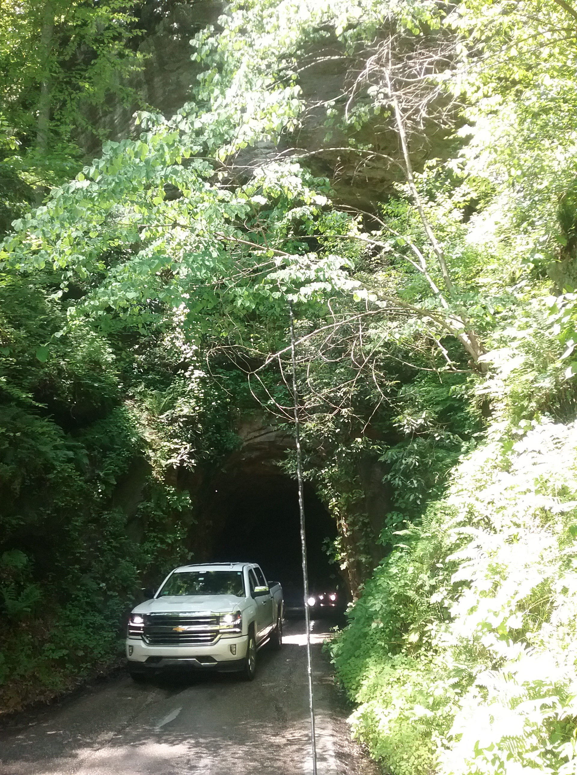 Traffic piled up quickly on both ends and our side had fewer vehicles so our side backed out – about a dozen on our side. In case your wondering, we knew about this tunnel and only had the truck, not the camper which is 13 ft. 3 inches.
")


")


")
 This cliff face has hundreds of engravings done by travelers on the Sante Fe Trail- Cimarron Branch.


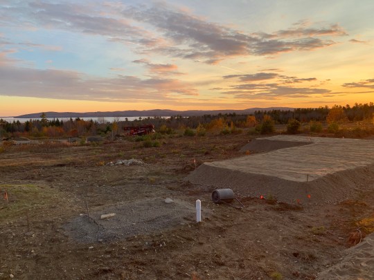
 We spent two days stowing all our gear, trying every switch, button and device in the camper…and we found 4 things that did not work, so back to the dealer on our way to a RV park to sit for a month to wait out the virus.